July 29 - August 5, 2006
(click on any image to see a larger version -- 1024X768)
| Borah Peak, Idaho (12,662ft) & The Grand Teton, Wyoming (13,770ft) July 29 - August 5, 2006 (click on any image to see a larger version -- 1024X768) |
||
|
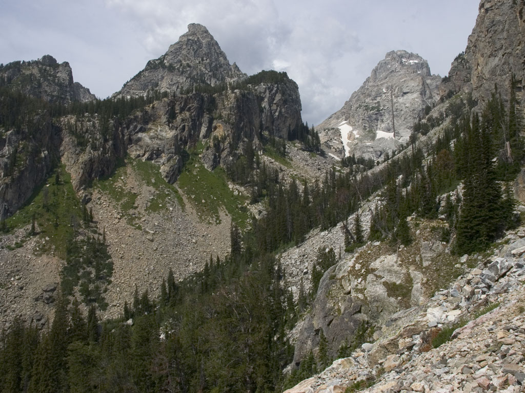
John and I have both wanted to climb in the Tetons for quite some time and it finally came together in 2006. In early Spring John contacted guide services and we decided to use Jackson Hole Mountain Guides to climb the Grand via the Pawnall-Gilkey route. We had run into a couple JHMG guides in 2004 on Granite Peak in the Beartooths (MT) and were impressed by their personalities. A friend had recommended JHMG guide Doug Workman so we requested him. On July 29th, an early flight from Dulles put us at Salt Lake City just after noon. To acclimate, we decided to first visit 12,662 foot Borah Peak, the highest in nearby Idaho. Out of the airport later than planned we made good time, arriving at the trailhead campground with enough light to select a spot and get a look up at the mountain.
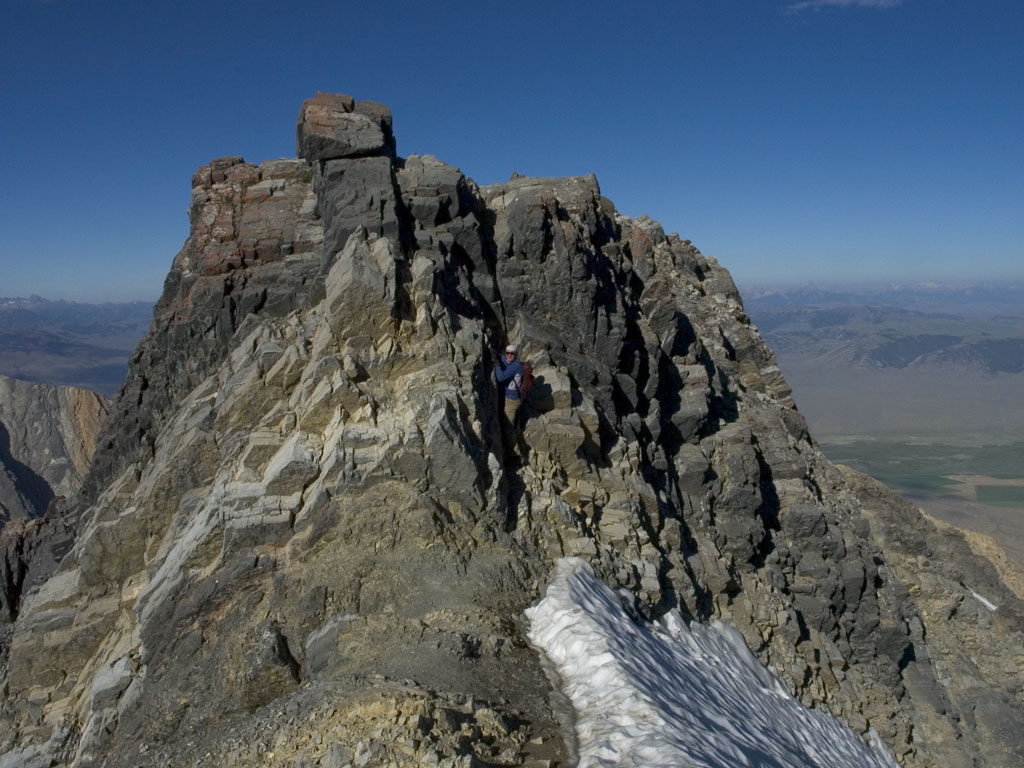
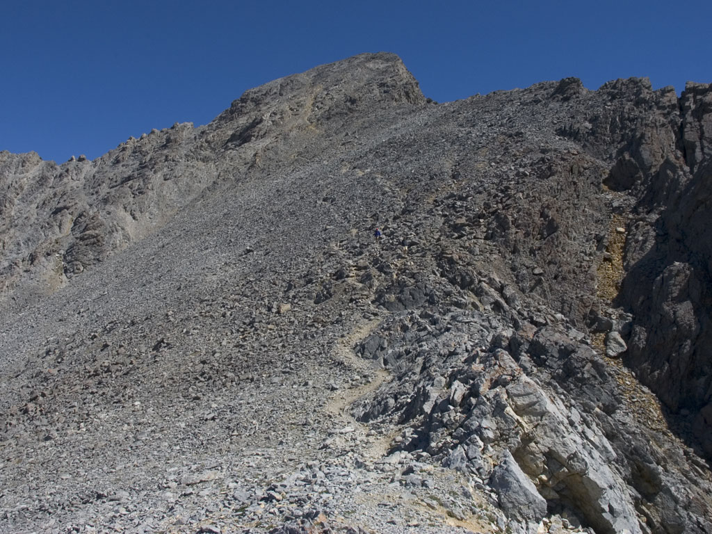
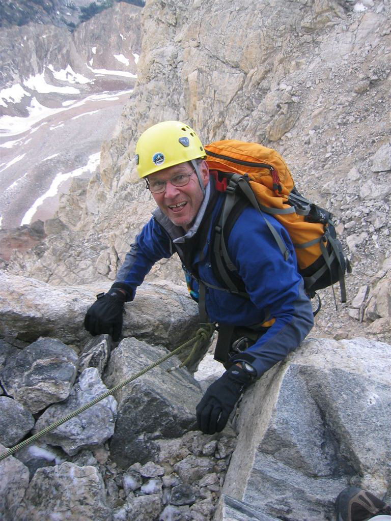
We awoke at 5:00am and were on the trail a half hour later. The mosquitoes were a nuisance in camp but in the woods on the climb they were absolutely voracious. Once we broke out above the tree line though, they disappeared. Borah Peak is a dry uphill hike through open woods to tree line, then a long curving ridge to the final scramble to the summit. This was one of the steepest hiking trails I've ever been on. The round trip is only seven miles, and close to two of those are fairly level, so the 5600 foot vertical is actually gained in only about two and a half miles. The consensus is that Borah is the sixth most difficult of the 50 state high points. The only technical difficulty, known as "Chicken Out Ridge", is an easy fourth class scramble down to a snow ridge. For most hikers it could be pretty intimidating, but no one with any technical climbing experience should be bothered by the (admittedly significant) exposure on both sides. It gave us no problem whatsoever.
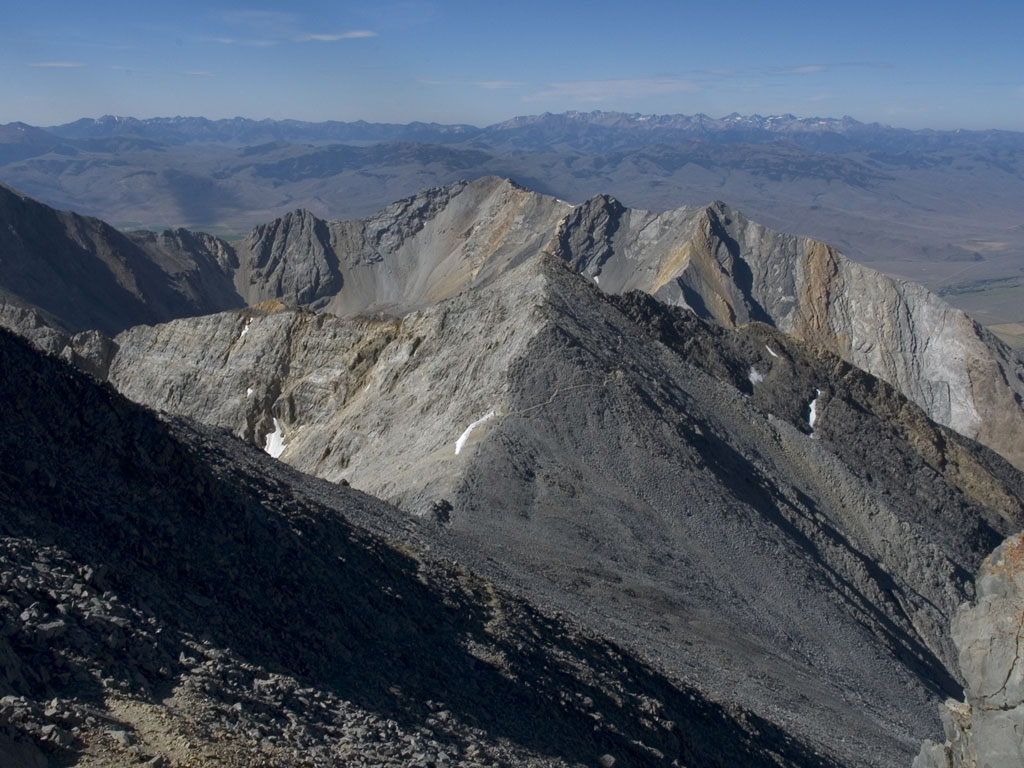
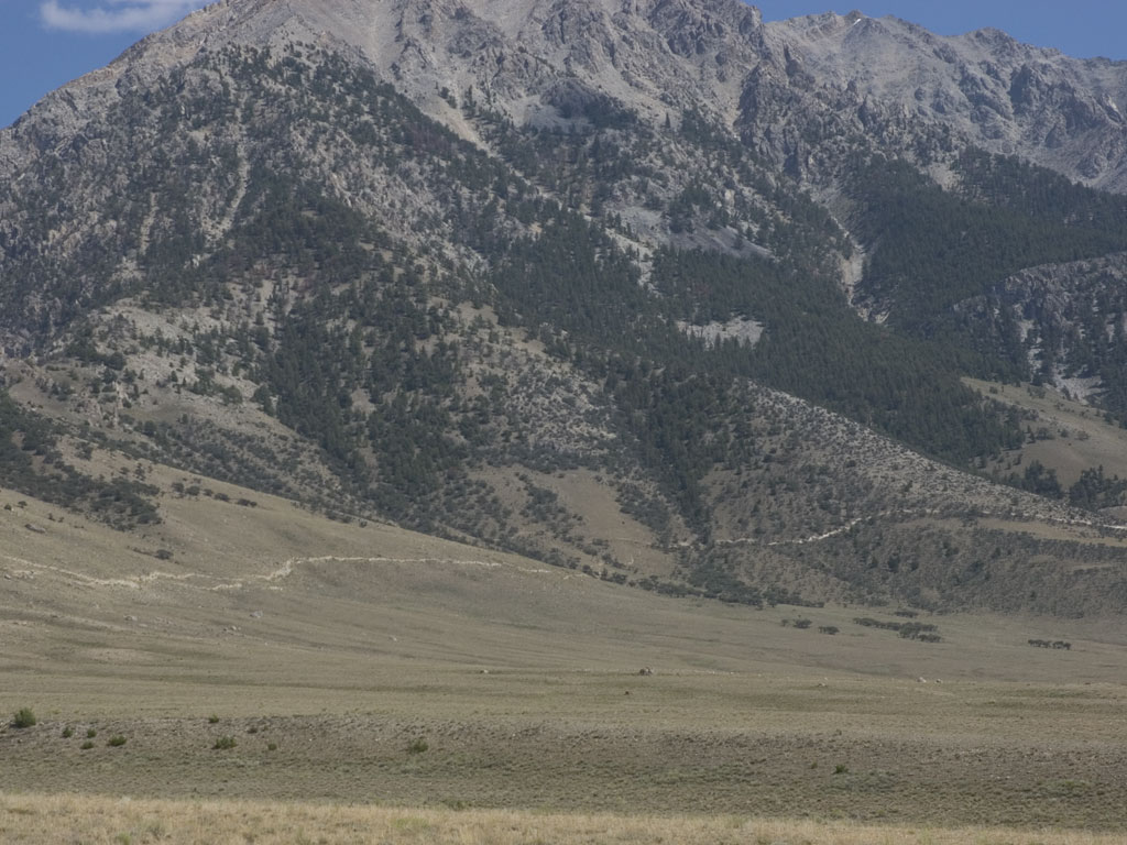
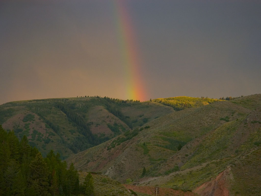
The day was warm but breezy and the views abundant of the surrounding Lost River Range. For the final 300 feet or so up to the summit, we chose to leave the hiker's trail and friction up a slabby bit that was kind of fun and exposed. We were on the summit shortly before eleven. On the summit there was little wind and the temperature was around 45f. Achieving that summit had been a bit in doubt for me though; poor conditioning and the effects of altitude became evident the last few hundred vertical feet as I felt an unfamiliar clumsiness and lack of balance. 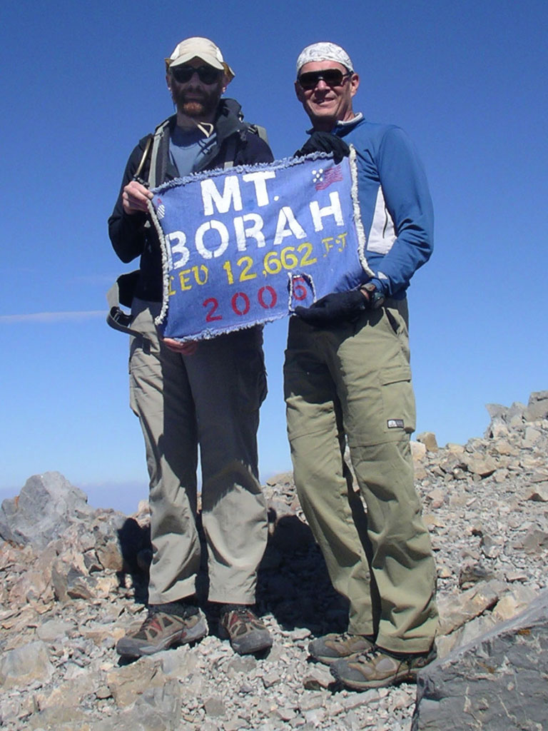 After relaxing and trading yarns with other climbers, we headed down. The descent off Borah is best described with a single word: relentless. Five thousand feet of downhill gets old fast, and terribly dusty once we got back into the trees. By early afternoon we were down, and off to a motel in Idaho Falls for showers, dinner, and rest. We paused on the road out to look back at the amazing fault line that evidences the magnitude 7.3 earthquake of 1983. This quake actually lifted the whole mountain seven feet!
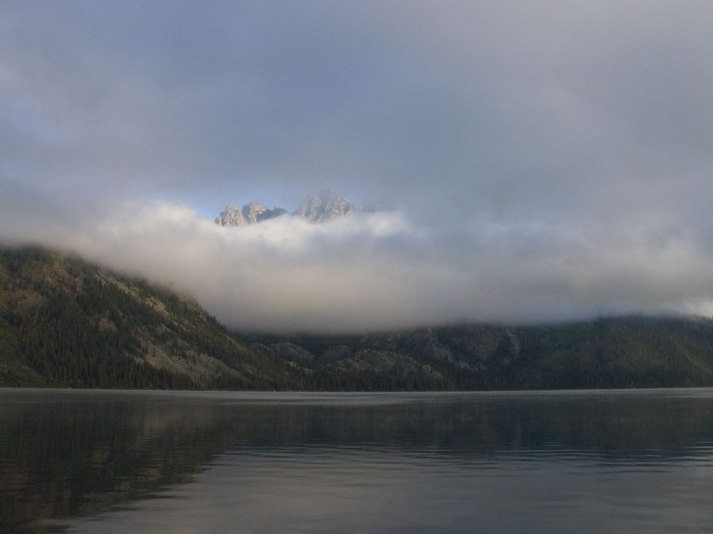
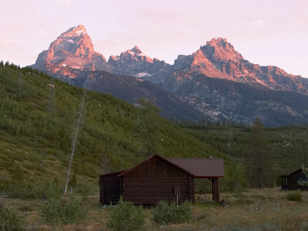
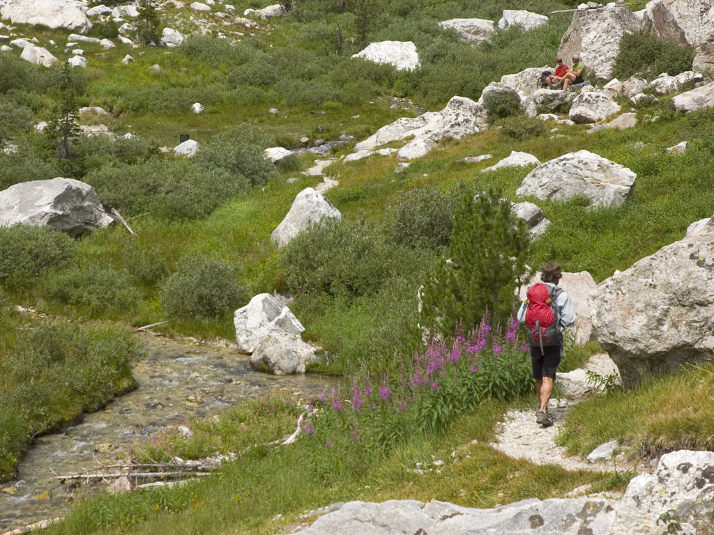
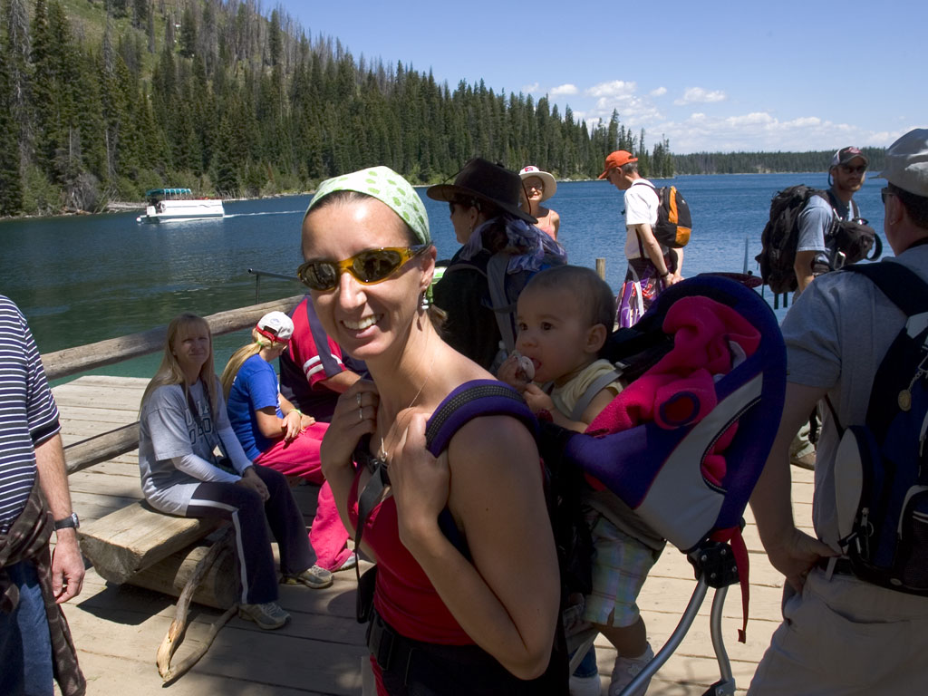
Monday we slept late then drove through occasional rain to Jackson Hole, then on to the Grand Teton Climbers' Ranch. To further the acclimation process, we drove East to the Continental Divide looking for a high trail. Map consultation put us at the head of a horse trail that lead easily uphill to 10,000 foot Bonneville Pass with wide meadows and wildflowers. At 7am Wednesday we caught the boat across Jenny Lake for Hanging Canyon.
Thursday, August 3rd began the focus of the week -- the climb of the Grand Teton.
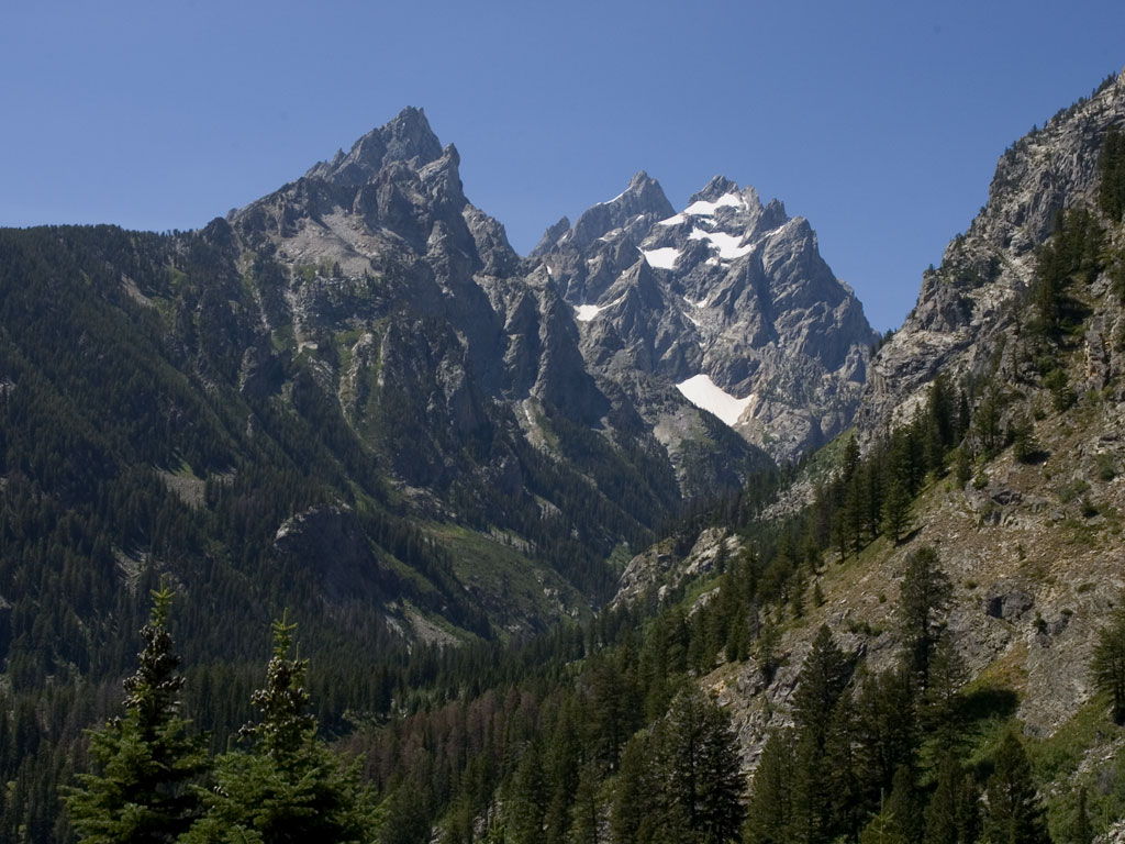
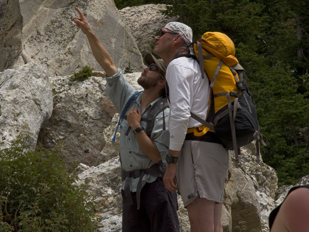
There we lunched on sandwiches the guide service provided and Doug pointed out features of the mountains and spectacular climbs overhead.
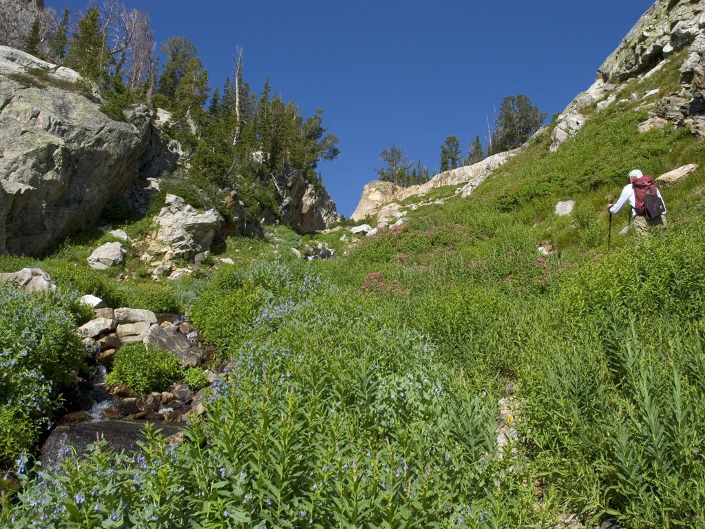
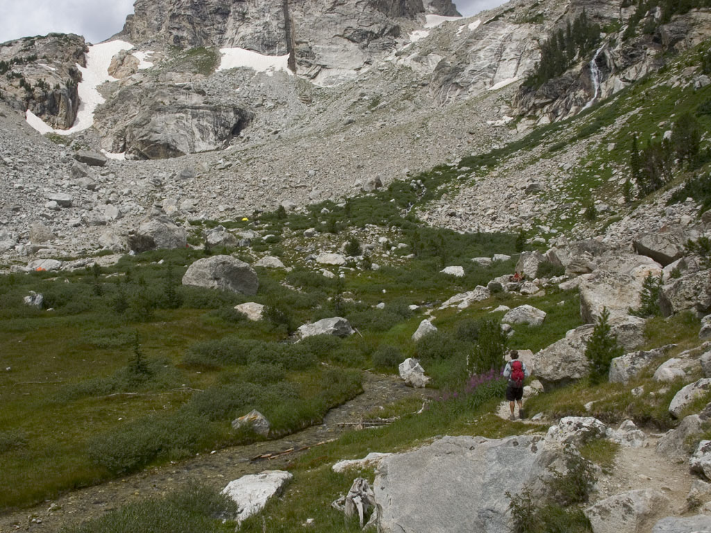
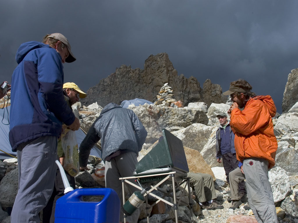
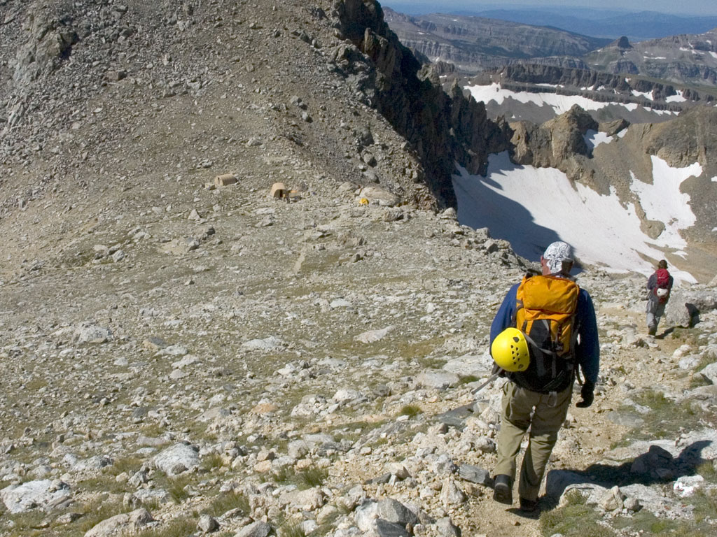
Above the Meadows we paused for water at a vigorously flowing spring, then on to camp, arriving at about 3pm. The JHMG camp is at 11,000 feet, above the moraines and glacial rubble below the Middle Teton Glacier, just below Tepee Pillar. It consists of several Sierra Designs tents tied down securely, large metal gear storage boxes, and a "canvas Quonset hut" cooking tent. 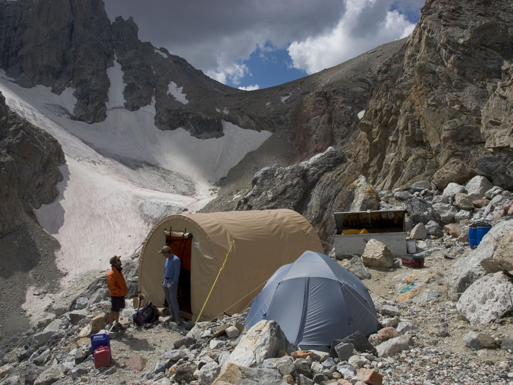 Everything was provided including sleeping bags and very thick mattresses and there's a spring within a couple hundred feet with potable water. This high camp is one of the most spectacular I've seen. It's quite airy, and really set the mood for climbing. 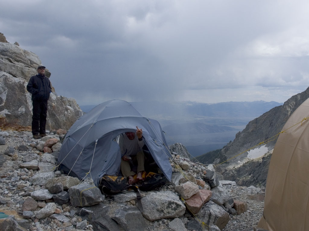 After checking out climbing gear (stored at the camp), dinner was the next. We started with blue corn chips and a fresh avocado salad then bratwurst cooked over a gas grille some guide had hauled up. We finished with chunks of pork chop done flawlessly on that same grill. Our dinning room was the mountains with dark clouds above, the valley far below, and the Wind River Range visible eighty miles away.
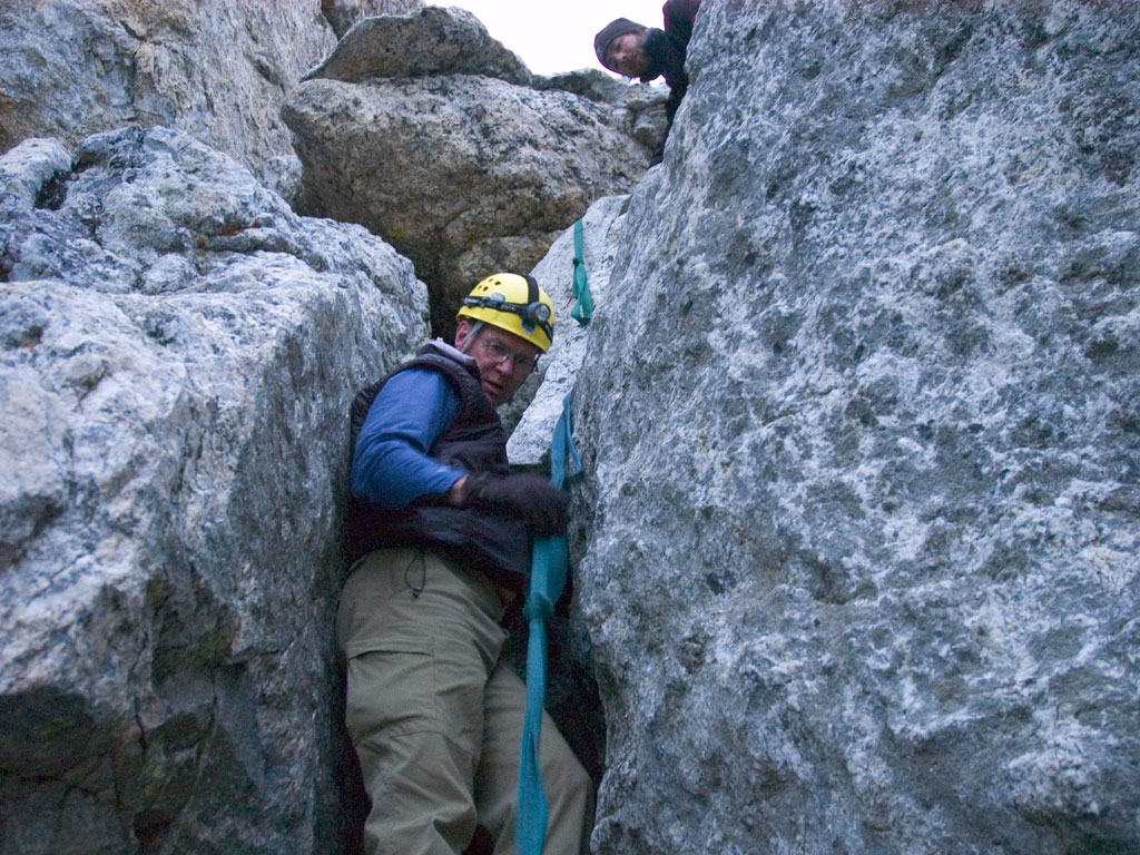
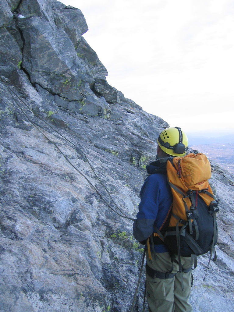
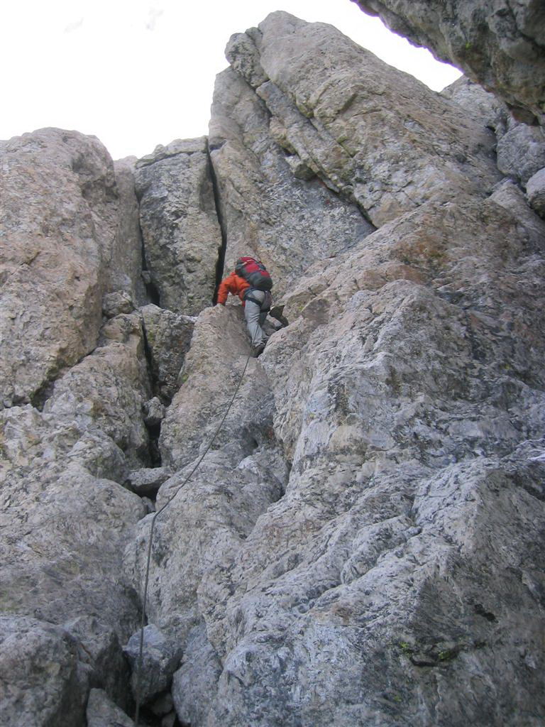
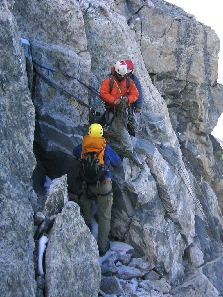
Morning on a big peak comes early so we were in bed shortly. At 9:45pm an exciting storm began with brilliant flashes and thunder echoing back from Middle Teton and Nez Perce. Rain began suddenly like a switch toggled on as wind tested the guy lines of the tent. Secure and dry, we lay back to experience the storm until it ended at midnight. A thunderstorm in the mountains is really an intense experience. The lightning dazzles even through closed eyes inside a tent, and the cracks of the thunder seem to come from your guts. At 3:30 Friday morning Doug's voice told us it's time to rise and we wasted no time. The sky was clear and the dry air had taken care of the rain so after a breakfast of donuts and applesauce we were on our way. The first obstacle was the headwall below the Lower Saddle with 4th class climbing. On the Lower Saddle we passed Exum Mountain Guides' camp, an exposed, dismal place not to have been during the previous night's storm. A lot of easy scrambling and some short 4th class moves took us to the Upper Saddle. As we ascended the sun appeared giving us alpenglow on Middle Teton, then views of the mountains' shadows in the valleys to the West.
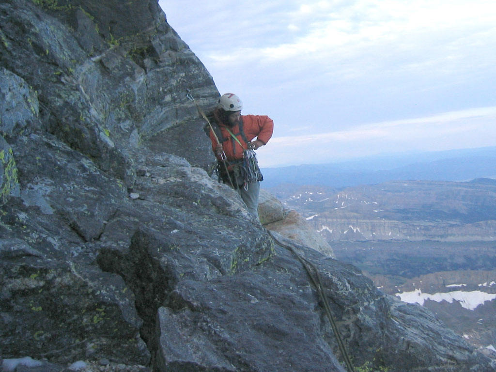
A few more moves above and we pulled on to the 13,770 foot summit around 8:30am. It was pleasant with good views all around, the temperature was a comfortable 40f and there was little wind. We spent 45 minutes there before heading down. 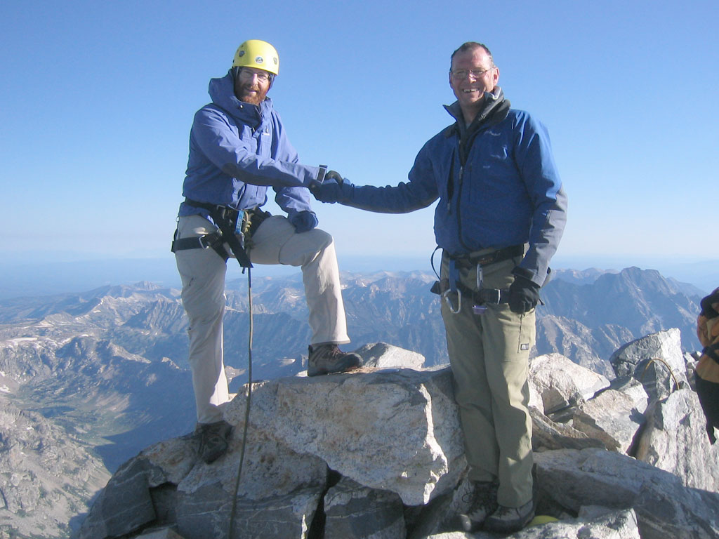 The descent was uneventful but slow due to the scrambling involved. One of the most valuable benefits to climbing with a guide is the local knowledge. We did not just reverse our route, but were able to see more of the mountain on the way down that we'd missed on the way up. The Owens-Spaulding rappel is pretty cool, as was the Eye of the Needle. We'd experienced the Sack-o-Potatoes on the way up.
|
Return To Previous Page
|